Navigation Applications: Mapping The Digital Terrain

In an era of interconnectivity, navigation apps have become indispensable tools, guiding us from urban jungles to remote corners with uncanny precision. Whether you’re a daily commuter, a weekend wanderer, or an international traveler, there’s an app tailored to meet your needs. In this exploration, we’ll delve into some of the most popular navigation apps that have charted a path in the tech landscape.
OsmAnd
Emerging as a favorite among open-source enthusiasts, OsmAnd is a navigation application that draws its data from the OpenStreetMap (OSM) project. What sets it apart?
- Offline Utility: Even when the internet is elusive, OsmAnd ensures you never lose your way. Download maps by region and navigate without data connection.
- Customization: Tailor your navigation experience. Whether you’re hiking, cycling, or driving, adjust the app’s settings to your activity.
- Safety Features: OsmAnd offers features like contour lines and hill-shading, ideal for those navigating challenging terrains.
- Privacy: Being open-source, the app puts a premium on user privacy, ensuring data isn’t shared without consent.
Google Maps
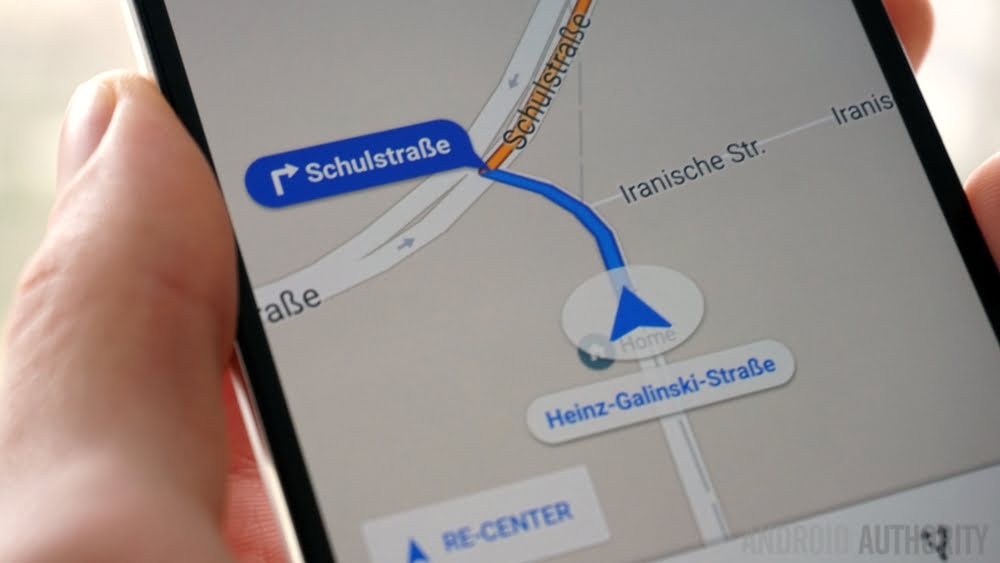
A name synonymous with digital navigation, Google Maps has been a stalwart since its inception. Its dominance can be attributed to:
- Comprehensive Coverage: Few can rival the expansive database of locations, routes, and landmarks that Google Maps offers.
- Live Traffic Updates: Real-time traffic data helps commuters anticipate delays and find quicker routes.
- Integration: Being part of the Google ecosystem, it seamlessly integrates with other services, enhancing the user experience.
- Street View & Indoor Maps: From viewing a street as if you’re there to navigating vast malls, Google Maps brings a detailed perspective.
- Transit Information: Not just for drivers, it offers exhaustive info on public transportation, schedules, and routes.

Waze
A community-driven navigation tool, Waze offers more than just routes—it offers real-time insights from its vast user base.
- User Reports: Roadblocks, speed cameras, or accidents—users report them in real-time, keeping the community informed.
- Optimized Routes: Waze constantly updates the best route based on current conditions, ensuring you’re on the quickest path.
- Social Integration: Connect with friends, check their ETA, or even carpool—Waze brings a social dimension to navigation.
- Custom Voices: A fun feature where users can choose from a variety of voices, even celebrity ones, for their navigation guidance.
iGO Navigation
iGO Navigation stands out for its no-nonsense, detailed, and reliable offline maps.
- Offline Reliability: Once you download its maps, iGO doesn’t need an internet connection to function, making it ideal for remote travels.
- Diverse Maps: From topographic maps to those detailing points of interest, iGO offers varied map types catering to different needs.
- 3D Visualization: Landmarks and terrains pop out in 3D, offering clarity and a realistic view.
- Simple Interface: Eschewing clutter, iGO’s interface is user-friendly, ensuring even the least tech-savvy can navigate with ease.
In conclusion, while the digital map is dotted with numerous navigation apps, each of these popular contenders offers unique features that cater to varied user needs. Whether driven by community insights, exhaustive databases, open-source ethics, or offline reliability, there’s an app out there charting a route tailored just for you.


